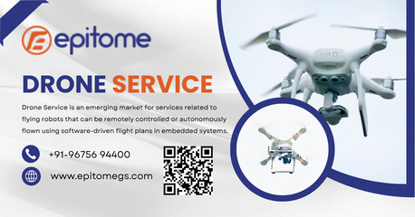
• High-precision aerial mapping
• Faster data collection than traditional surveys
• Cost-effective and safe operations
• Suitable for land, construction & infrastructure projects
• Reliable data using advanced UAV technology
Visit in Website- https://epitomegs.com/
Contact us: +91-96756 94400