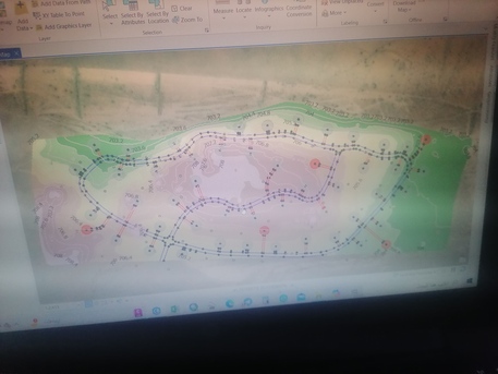
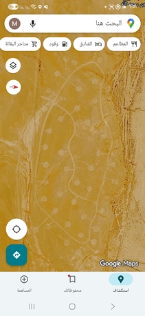
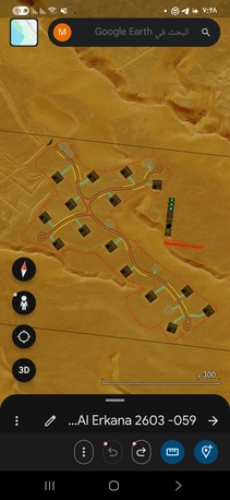
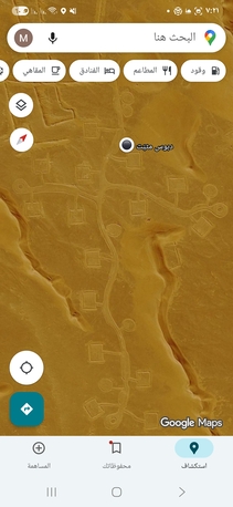
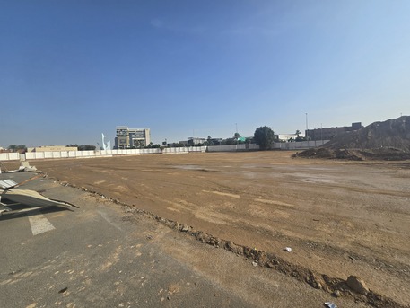
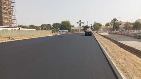
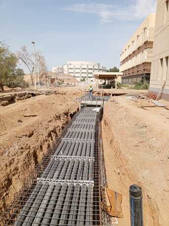
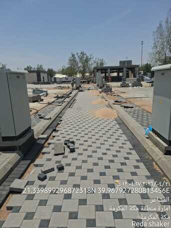
A dedicated Surveying and Geomatics Engineer with extensive field and technical experience in infrastructure projects, site development, and landscaping within Saudi Arabia. Proficient in performing high-precision topographic surveys, setting out, and construction supervision using advanced equipment, including GNSS and Total Stations. I possess a strong background in spatial data processing utilizing Civil 3D and ArcGIS, supported by specialized academic training in Geodesy Engineering.
Career Ambition:
I aim to leverage my expertise in modern surveying technologies, such as UAV (Drones) and Mobile Mapping, to contribute to major infrastructure and environmental sectors in the Kingdom. Furthermore, I aspire to enhance my skills in road design and spatial data modeling to provide innovative engineering solutions that align with Saudi Vision